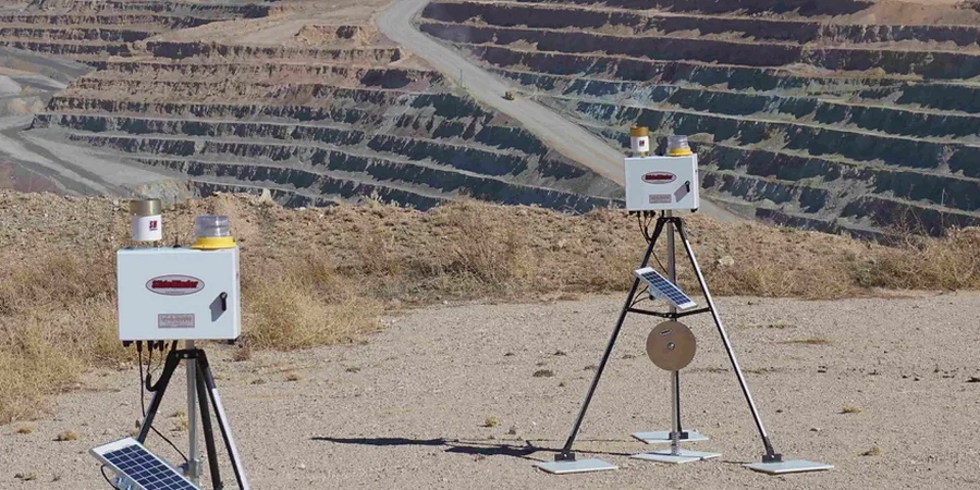
Detroit sits at roughly 600 feet above sea level, draped over a complex stack of glacial tills and lacustrine clays left by Lake Maumee. When you open a deep excavation downtown, you are not just moving dirt. You are unloading a soil mass that can creep, swell, or shift toward the cut within hours. Our geotechnical excavation monitoring program captures that behavior before it becomes a problem. We track lateral deformation, pore pressure buildup, and vibration from demolition hammers, feeding data directly to the superintendent and the engineer of record. For sites near the Detroit River or over the old riverbeds that thread beneath the city, the risk of basal heave is real and must be measured continuously. A comprehensive monitoring plan often begins with in-situ permeability testing to understand how fast groundwater moves through the layered drift, and we tie that data to slope stability analyses when the excavation wall exceeds 12 feet in the city's soft gray clay.
In Detroit's glacial lake plain, undrained shear strength can drop 40% within 48 hours of a rainfall if pore pressures go unchecked. Monitoring catches that trend before the shoring does.
Local considerations
Comparing a site in Midtown against one along the riverfront in Jefferson Chalmers reveals two completely different risk profiles. Midtown's overconsolidated till can stand almost vertically for days, but it relaxes slowly, shedding blocks if the wall is left unsupported too long. Jefferson Chalmers, built on softer alluvium and fill with a water table just 6 feet down, can experience a bottom heave failure with almost no visual warning. Ignoring these contrasts leads to crushed utilities, cracked street pavement, and schedule delays that run past 60 days. We set trigger levels for each instrument based on the specific soil profile, not a generic table, and we tie those triggers to a clear action plan: reduce bench width, add dewatering wells, or pause blasting until vibration levels drop.
Frequently asked questions
What is the typical cost range for excavation monitoring on a Detroit commercial site?
For a standard commercial excavation in Detroit, instrumented monitoring typically falls between US$910 and US$2,230 per month, depending on the number of inclinometers, piezometers, and survey points required. The final scope is driven by the depth of cut, proximity to adjacent structures, and the soil profile encountered.
How do you determine the trigger levels for movement alarms?
Trigger levels are derived from the project's geotechnical baseline report and the structural tolerance of nearby buildings. We typically set a green-yellow threshold at 50% of the calculated design movement and a yellow-red threshold at 80%. For unreinforced masonry buildings common in Detroit's historic districts, the red threshold is often capped at 0.25 inches of total lateral deflection.
Can monitoring data be used to adjust the excavation support in real time?
Absolutely. When inclinometer data shows deflection rates accelerating near a tieback level, the engineer of record can increase the lock-off load or add an additional row of struts. This observational approach, formalized in FHWA guidelines, allows the shoring design to be optimized during construction, often saving time and steel.